


Applications for Ohio Farm Bureau Health Plans now available
Members have three ways to apply: contacting a certified agent, calling 833-468-4280 or visiting ohiofarmbureauhealthplans.org.
Read MoreIn 2017, Hamilton County Farm Bureau was one of eight Ohio county Farm Bureaus that earned a County Activities of Excellence award from American Farm Bureau. On the surface, the activity—helping update state and national Farm Bureau policy as it relates to drones—doesn’t sound as though it would be related to farming.
However, a recent report by PricewaterhouseCoopers states that the future of drone usage in agriculture could create an industry of $32 billion or more, and that estimate could be conservative.
What is the link between farmers and drones? Precision farming, by air and by land. Already on most farms, digital equipment with sensors can scan and record data from the field that farmers can use from planting to harvesting. Precision agriculture also includes the use of GPS, geomapping and satellite imagery to let farmers know exactly what work in what field was done on what day. It includes extensive details about crops in the field, including important items like nutrient management application.
Drones are an extension of that technology, with the ability to grab data quickly with a farm flyover. Now policies updated through the efforts initiated by the Hamilton County Farm Bureau make it so farmers have guidelines to follow so they can be on the cutting edge of this emerging technology.
Special thanks to Bob Beckman working as drone operator and Steve Knollman of Knollman Farms for showcasing their land.


Members have three ways to apply: contacting a certified agent, calling 833-468-4280 or visiting ohiofarmbureauhealthplans.org.
Read More
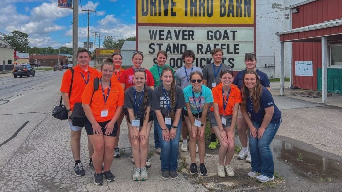
2026 camps feature an expanded lineup of one-day experiences and a weeklong immersive camp for high school students. Registration closes 10 days before each experience.
Read More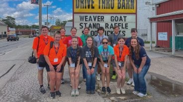
Growing our Generation enewsletter features insights and ideas directly from Ohio’s young farmers and food and agricultural professionals. Sign up…
Read More
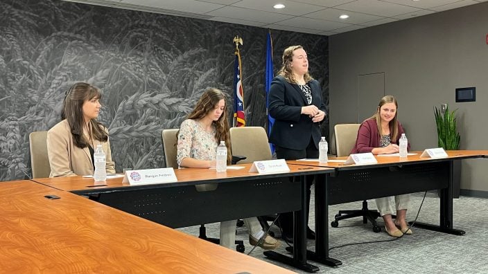
A recording of the webinar is available to Farm Bureau members. Please log in to your member account at ofbf.org, then click the link to access the recording.
Read More

Across both bills, Ohio Farm Bureau reinforced that development can provide economic opportunity, but must be balanced with strong protections for landowners and Ohio agriculture.
Read MoreAs ODOT accepts public comments until April 14, it is critical that impacted farmers and rural landowners weigh in while the study is underway.
Read More
Ohio Farm Bureau is urging its members to contact their Ohio legislators to ask them to repeal the Data Center Sales Tax Exemption.
Read More

Derek Snider has been appointed to the American Farm Bureau Federation’s Young Farmers & Ranchers Committee for the 2026-2028 term.
Read More

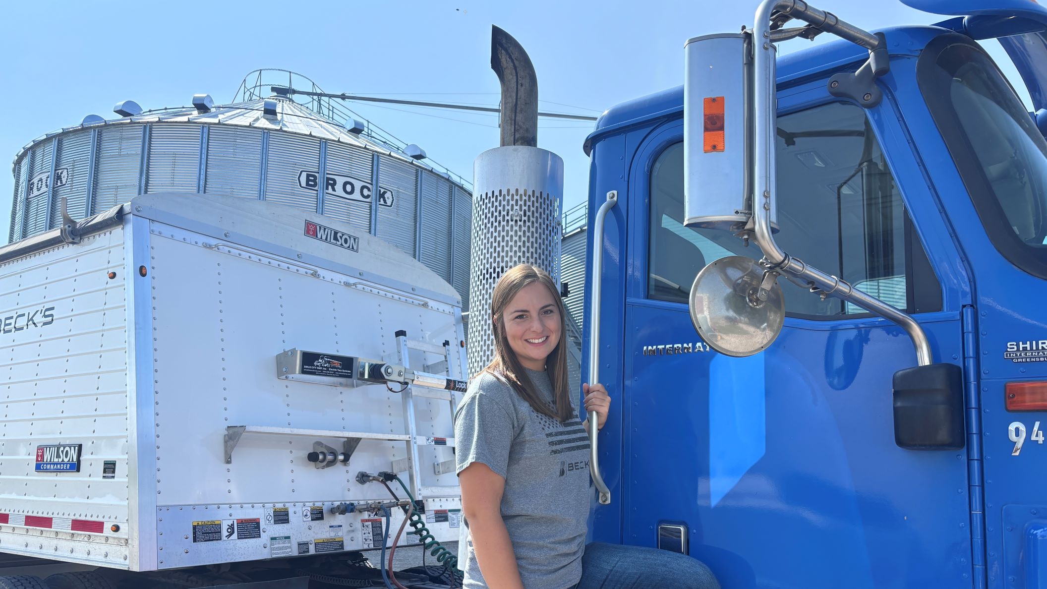
Olivia Robinson of Hanover has been named organization director for Ohio Farm Bureau and will serve members in Guernsey, Morgan, Muskingum and Perry counties.
Read More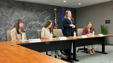
Ruth Beery of Wilmington College Collegiate Farm Bureau is the winner of Ohio Farm Bureau’s 2026 Collegiate Discussion Meet competition….
Read More