Applications for Ohio Farm Bureau Health Plans now available
Members have three ways to apply: contacting a certified agent, calling 833-468-4280 or visiting ohiofarmbureauhealthplans.org.
Read MoreGPS technology is helping businesses create more efficient and reliable growing practices. The following information is provided by Nationwide, the No. 1 farm and ranch insurer in the U.S.
The ag industry is continuously focused on producing higher yields, reducing labor costs, creating more environmentally friendly farms and producing less waste. GPS technology and more streamlined processes are helping those businesses create more efficient and reliable growing practices.
Over the past five years, GPS steering solutions have evolved from an after-market add-on to a standard factory installation. Much like computer software, these systems can control several different components and processes at the same time. They can be easily monitored and controlled by one central interface and device.
Automated systems include a GPS receiver and antenna and can be used on equipment like tractors, sprayers, combines and fertilizer spreaders, helping to improve farm work efficiency.
Delicate processes such as applying pesticides, herbicides and fertilizers can be better controlled and monitored, helping to reduce waste and expenses.
Guidance solutions like these can also improve performance on other large farm vehicles for tasks such as rolling or cultivating and can improve precision farming for planting and soil distribution.
Mishaps or overlaps during the application process can have expensive and long-lasting impacts; distraction or decreased visibility is often the culprit. By removing most human interaction, common mistakes like over-applying (driving too narrow) and skips (driving too wide) can be reduced. Eliminating these and other risks can help reduce claims and promote operational efficiency and reduced waste.
Over the next 10 years, the use of self-driving tractors and robots that harness GPS capabilities are expected to rise. An ongoing need to control costs and increase output will eventually encourage farmers to embrace remote and autonomous technologies like these.
Automated farm implements have also begun to help resolve labor shortages. These systems and vehicles can enable one person to complete the work of two. Limitations still apply for operating autonomous tractors on public roads, however, so monitoring is still required.
GPS can improve farm efficiency for soil sampling, irrigation monitoring and more precise planting:
• Soil sampling: GPS can collect accurate data to determine soil variability and establish whether soil is ideal for crop growth. By taking samples in blocks called grids (areas of approximately .5-10 acres), soil types can be profiled to distinguish viability and determine fertilizer and seed requirements for optimal growth.
• Irrigation monitoring: Irrigation systems with GPS can monitor rainfall and help measure soil moisture to direct water where it’s needed most. They can also be used to identify heavy weeded patches, which stifle crop growth and can hamper eventual yields over time. GPS systems can also help generate an algorithm to calculate irrigation needs based on crop and soil type. It can evaluate soil maintenance schedules.
• Precision agriculture: Precision agriculture is an information technology-based management system that collects data obtained from GPS and integrates it into a global information system (GIS). It can come in handy when planning future plant density, spacing and depth. Adjustments can be programmed into the GPS software and be ready to go for planting season.
During the planting season, the GPS monitor can execute the program without relying on an operator’s constant attention. The machine can change seeding spacing and depth continuously while the operator focuses on machine performance.
• Yield mapping, another concept made possible with GPS technology, is a technique in agriculture that utilizes GPS data to analyze variables like crop yield and moisture content. Farmers can analyze and compare crop yields year over year to plan more effectively. It also gives them a map of field productivity to compare output vs input and decide the best plan for each acre.
With improved satellite signals, broader digital bandwidth and remote capabilities, it’s possible that sensitive agronomy procedures could be managed without human interaction in the future. How well this new perspective and technology is embraced by the agricultural industry will dictate the timing, however. Nationwide continues to explore the added efficiency and cost-effectiveness of this technology and what it could mean for your farm and future.
For more information on emerging technologies and agronomy techniques, please refer to your Nationwide Agribusiness consultant.
Learn more about Nationwide farm insurance and other commercial coverages. To find a local Nationwide agent, use the farm agent locator.
Members have three ways to apply: contacting a certified agent, calling 833-468-4280 or visiting ohiofarmbureauhealthplans.org.
Read More

Legacy nutrient deductions enable new farmland owners to claim deductions on the nutrients within the soil on which healthy crops depend.
Read More
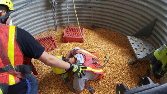
Farmers, agribusinesses and community members are encouraged to nominate their local fire departments for Nationwide’s Nominate Your Fire Department Contest through April 30.
Read More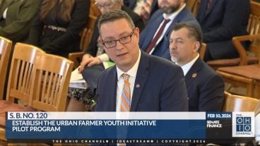
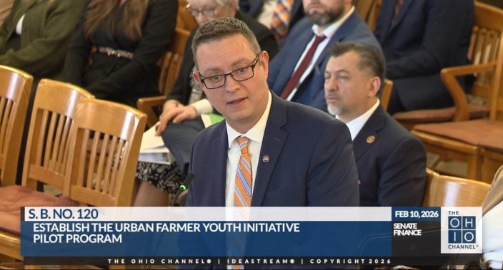
Introduced by Sen. Paula Hicks-Hudson, SB 120 would establish the Urban Farmer Youth Initiative Pilot Program.
Read More
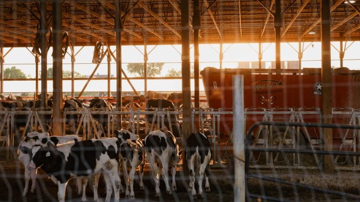
Gases, vapors, and fumes can all create risk. How can we measure and protect ourselves from them?
Read More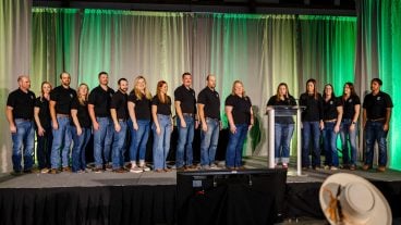
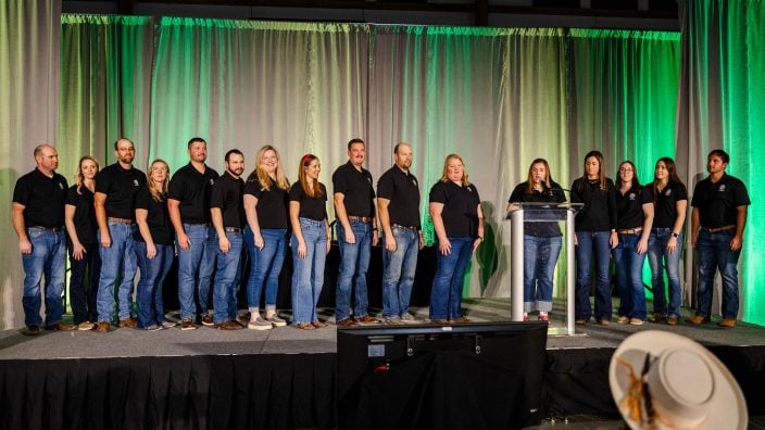
The Ohio Farm Bureau’s Young Agricultural Professionals State Committee has named its 2026 leadership and the individuals who will be serving on the state committee for 2026-2028.
Read More

The Ohio Farm Bureau Foundation has multiple scholarships available to Ohio students from rural, suburban and urban communities who are pursuing degrees with a connection to the agricultural industry.
Read More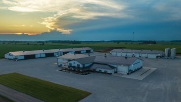
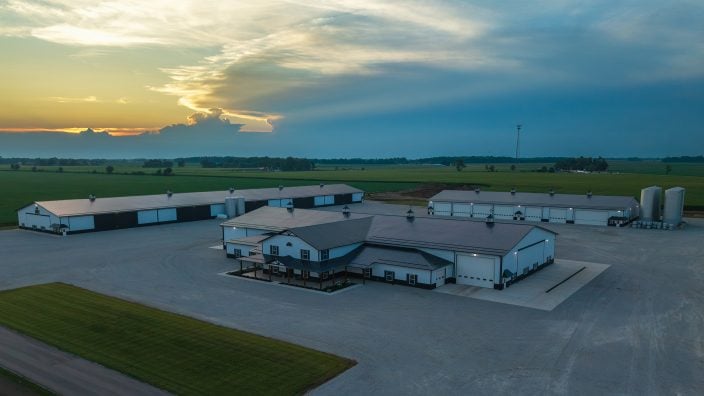
With 100% bonus depreciation now permanent, farmers can deduct the full cost of a new agricultural building in the year it’s placed in service.
Read More
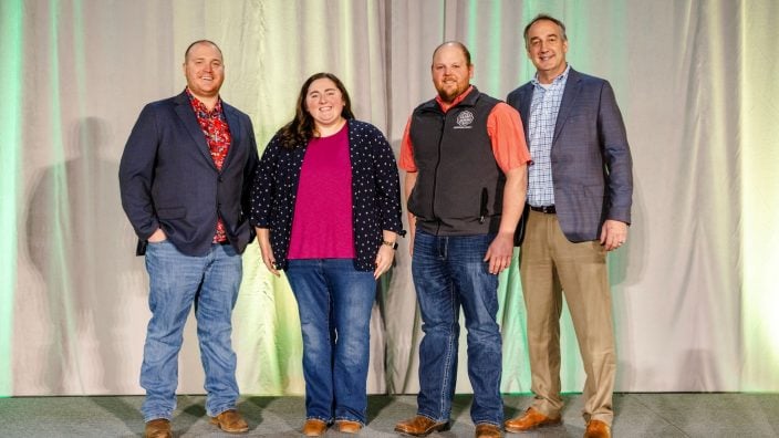
Lincoln Deitrick was named the Outstanding Young Farmer, Denver Davis won the Excellence in Agriculture Award, and Margaret Houts won the Discussion Meet.
Read More

Michelle Downing of Franklin County has been named finance director of county operations for Ohio Farm Bureau.
Read More